Mawlynnong Village

Mawlynnong Village

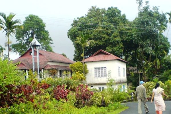
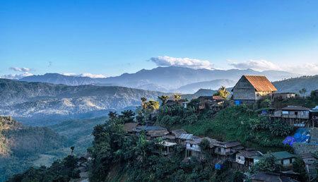
The Mawlynnong village has earned the distinction of being the cleanest village in India. It is situated 90 kms. from Shillong and besides the picturesque village, offers many interesting sights such as the living root bridge and another strange natural…

Laitlum Canyons

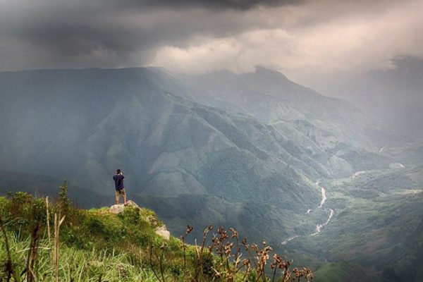
Laitlum means ‘End of the Hills’. Situated at a distance of 25 Kms from Shillong and with its vast green lush forests with rocky pathways and 180 degree deep gorges with a river flowing through it, Laitlum Canyon is one…

Agartala

Agartala is the Capital of Tripura and shares its boundary with Bangladesh.Once a good hunting ground, it became the Capital of the state during the time of Maharaja Krishna Kishor Manikya (1830-50). It remains since then the seat of the…

Aizawl

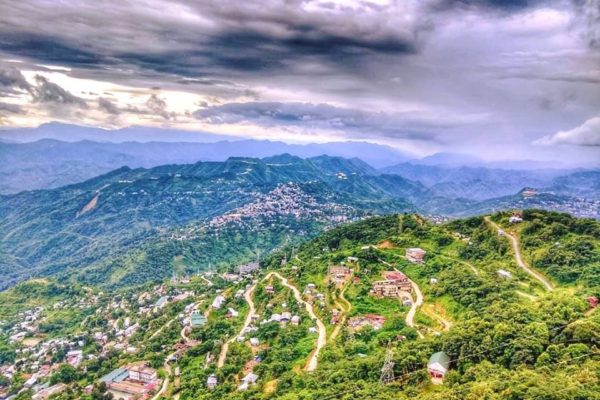
AIZAWL Aizawl, the state Capital of Mizoram is located at an altitude of 4000 feet above sea level. Surrounded on the east by the deep green valley of river Tlawng and protected by beautiful high hills of Durtlang on the…

Keibul Lamjao National Park

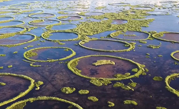
53 kms. from Imphal and sharing a shore with Loktak Lake, Keibul Lamjao National Park is the last natural habitat of the endangered marsh-dwelling brow-antlered deer of Manipur called “Sangai”. It is the only floating national park in the world,…

Shree Shree Govindajee Temple

This symbolic temple in Imphal adjoining the palace of the former rulers of Manipur, is a historic centre for Vaisnava culture. It is a simple and beautiful structure with gold domes, a paved court and a large, raised congregation hall.…

Loktak Lake and Sendra Island

Located 48 kms from Imphal this beautiful lake is resemble like a miniature inland sea. The government had built a Tourist Bungalow for the comfort of the tourists. From the nearby Sendra island, visitors can get a bird’s eye view…

Tuensang

Tuensang is inhabited by five major Naga tribes – Chang, Sangtam, Khiamniungan, Yimchunger, Phom – as well as a small number of the Sumi. The district shares its border with Myanmar. It is the biggest district in Nagaland covering 25…

Mon

Situated at an altitude of 897.64 meters it is the land of the Konyaks (One of the fiercest tribes in the world). Even though there is a legal administrative system, but actually it is ruled by tribal chiefs called Anghs…

Dimapur

The economic capital of Nagaland, Dimapur was once the capital of the Kachari kingdom. The name itself derived from the Kachari dialect; ‘di’ meaning river, ‘ma’ meaning great and ‘pur’ meaning city. The History of Dimapur dated back to the…